6N/7D Kashmir Great Lakes Trek
- Srinagar
5/5
Overview
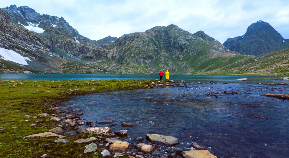
Nestled amidst the majestic Himalayas lies the breathtakingly beautiful Kashmir valley, adorned with numerous glimmering lakes and stunning vistas that never fail to mesmerize travelers. Amongst the many trekking routes traversing this wonderland, the Kashmir Great Lake Trek stands out with its serene beauty of tranquil lakes, lush meadows, gurgling streams, and towering peaks that form the backdrop of this picturesque journey. The trek takes you through stunningly azure lakes, each with a distinct character and charm, surrounded by a surreal panorama that will leave you gasping for words.
Explore the enchanting sights of Kashmir with our all-encompassing Kashmir Great Lake Trek package. This itinerary includes a trip to the Great Lakes of Kashmir, a series of beautiful high-altitude lakes, each seeming more beautiful than the last. Get ready and venture to experience the magnificence of Kashmir’s natural grandeur and a venturous challenge through the KGL Trek, AdventuRush’s KGL trek itinerary.
Highlights
- Drive and encamp along the shores of the constantly moving iconic Sindh River. Witness the world’s most remarkable yet tricky route.
- Walk through the pleasing dale with cascading waterfalls and panoramic views at Kashmir, the Earth’s Paradise.
- Spot some rare fauna as you hike, such as the hangul deer and the Himalayan black bear.
- Feel the divinity and serenity at Vishansar, the ‘Lake of Lord Vishnu', and Kishansar Lake, the ‘Lake of Lord Krishna’.
Itinerary
Altitude: 2,730 m | Time taken: 3 hours drive
- Begin the first day with a drive to Shitkadi Sonmarg’s main lodge from Srinagar and wander about the mesmerizing Kashmir. The route passes through farms and towns nestled between lofty mountain peaks.
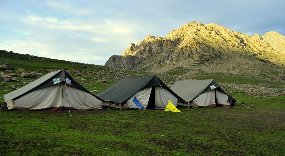
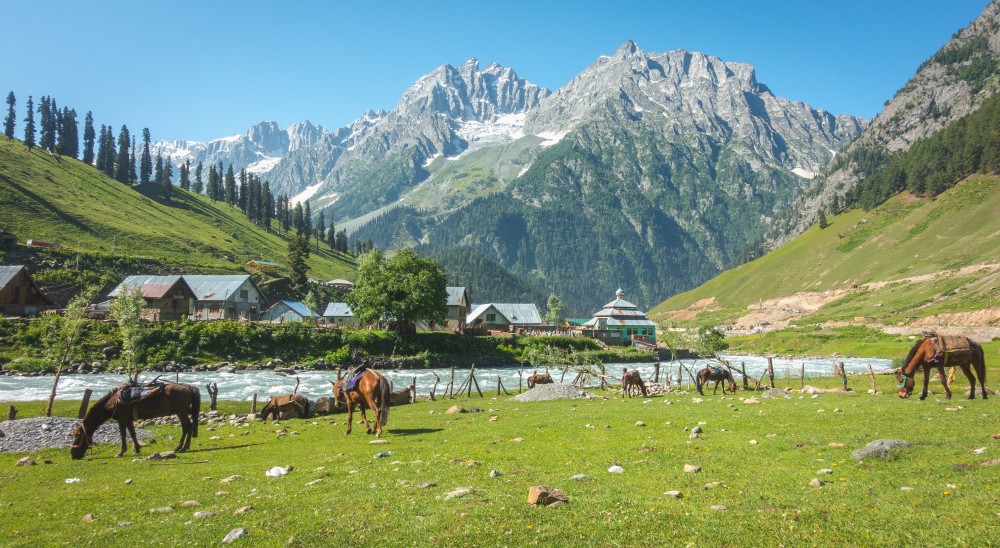
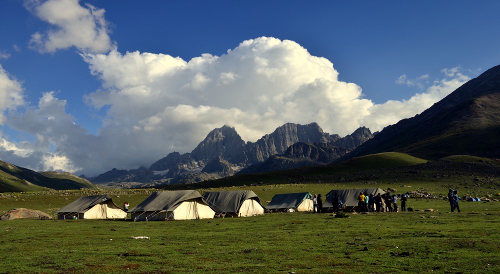
- Driving alongside the sparkling, continuously running Sindh River will be your constant view. You can pause along the route to take in the scenery of these mountains and meadows and camp out at scenic Shitkadi, encircled by snow-dressed mountain peaks. Acclimatise to the starry night at Shitkadi and relish the lip-smacking snacks with a hearty supper.
Altitude: 3,505 m | Time taken: 6.5 hours | 9 kms
- The second day of the Kashmir Great Lakes Trek will take you to the next campground. This part would be a gradual ascend. Tabletop, a stunning plateau encircled by jungle that opens up to the Thajiwas Mountain Range, will be your first visit. We will then hike over to Nichnai, crossing through a section of forest and continuing along the river channel; the path opens up and gives way to high mountains. Our trek captains and guides will guide you in crossing the creek.
- As you hike further toward the campground, the scenery gets more and more stunning. The path is lined with maple, birch, and pine trees and has some rocky areas as well.
Altitude: 3,505 m | Time taken: 6.5 hours | 9 kms
The second day of the Kashmir Great Lakes Trek will take you to the next campground. This part would be a gradual ascend. Tabletop, a stunning plateau encircled by jungle that opens up to the Thajiwas Mountain Range, will be your first visit. We will then hike over to Nichnai, crossing through a section of forest and continuing along the river channel; the path opens up and gives way to high mountains. Our trek captains and guides will guide you in crossing the creek.
As you hike further toward the campground, the scenery gets more and more stunning. The path is lined with maple, birch, and pine trees and has some rocky areas as well.
Altitude: 3,650 m | Time: 5.5 hours | 13 kms
The gradient of the day is moderate, with long hours of walking. At Nichnai Pass, we’ll stop for a short break; interestingly, this particular pass comes right after the river stream. When you reach the slope just before the summit, you will be able to see the lovely valley below that you just travelled through. There is a gradual ascent to the mountain; so, remember to stop regularly for hydration breaks and maintain a steady speed.
The mountain descends steeply and rugged towards the lovely valley below. A vast expanse of mountains to the left and right can be seen as one looks around. Such is the beauty of nature that while one side of the mountain range would appear rugged, the other side is snow-capped.
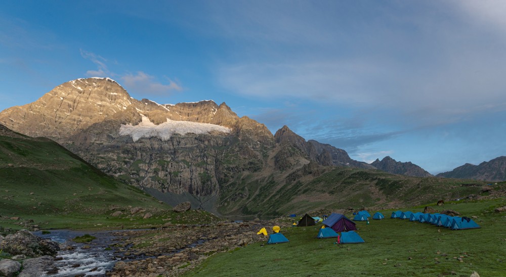
Campground can be arrived after a few kilometers of strolling, after crossing the river. The campground is close to the majestic Vishansar Lake’s water tributaries. There are many different species of trout fish in the river, all of which are well-known in this region. However, it is not permitted to fish or capture fish in this area.
After arriving at the campground, take your evening refreshments and unwind by the lake.
Altitude: 3,810m via Gadsar Pass | Time taken: 8 hours | 16 kms
- Gear up as it is a longest and interesting, yet most difficult day of the journey. The incline ranges from easy to challenging. You will cross over the highest altitude of the trek, that is, Gadsar Pass standing tall at 4,200m. Early in the morning, your journey guide will set you up for the day. Within an hour of the journey, one will be able to see the trek’s first and finest feature. Look at Vishansar and Krishansar Lakes, two beautiful lakes that are peacefully and pleasantly situated next to one another. The lakes are well-known for their clear waters and thriving trout population.
After the lakes, the arduous ascent to Gadsar Pass begins. - The path is short and steep, so you need to be cautious with the gradual ascent.This route is where the majority of the breathtaking photos of the Kashmir Great Lakes Trek could be clicked. Trekkers can spend some time here relaxing and clicking photos to cherish the memories later.
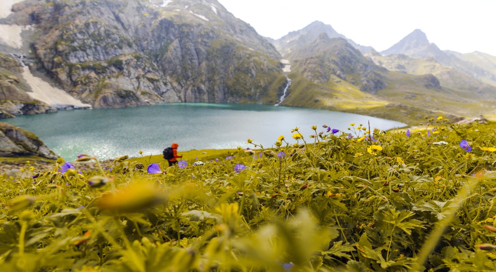
- The meadow is wavy and breathtakingly placed between the two mountain stretches. There are various colourful blooms and plants, as well as lush greenery. The most vibrant part of this journey is the field.
Soon after that, Gadsar Lake, a tranquil lake with a blue hue, will be visible on your left. Only the Kashmir Great Lakes Trek makes frequent trips to the lake. This lake, one of the finest alpine lakes you will see on the journey, is one of the least explored because it is almost in the centre of the trail. According to legend, the Gadsar Lake’s water and animals have therapeutic properties. The lake is a short distance from the campground.
Altitude: 3,600 m | Time taken: 5 hours | 12 kms
- This day’s gradient is simple to mild. Before the Satsar Meadow path emerges, there is only a short ascent of about an hour. On lush greenery and a path, the stroll then becomes leisurely. The path is a mixture of rocky and grassland terrain with some water-filled grassy areas.
The majority of the mountain’s terrain is rocky and barren. There are seven mountain lakes in total in the region, and we will pass by one of them as we travel. - The lake is stunning and provides a peaceful stopping spot for hikers. The seven lakes are one of the sources of the famous Wangath River that you will be seeing on the way going toward Srinagar after finishing the trek. After that, the trekkers will arrive at our campground, which is close to the river stream.
Altitude: 3,587 m | Time taken: 5 hours | 9 kms
- This day is moderate to difficult and starts with a patch of boulders and rocky terrain. The boulder section will dominate the day, with the hopping from one boulder to another. The path ascends until it approaches Zajibal Pass. For about three hours, there is a steep ascent toward the mountain, followed by an equally long descent. The path then ascends and lowers repeatedly before entering Gangabal Valley.
- The largest of the Satsar Lakes is on the way, which is a treat to the eyes. At the summit of the ridge known as Zajibal Pass, one achieves the highest height of the day after ascending. The route is located at the height of 4000 metres. The first glimpse you get of Nundkol and Gangabal Lakes, the two lakes that makeup Gangabal Lake, is the finest portion of this route and a visual treat.
- After leaving the mountain, one will travel through a small meadow with some minor inclines and declines before arriving at the twin lakes of the valley
The melting of the glacier that hangs on Mount Harmukh provides water for both the lakes and the glacial lakes. You’ll be setting up a tent next to the stunning Mount Harmukh, which is in the backdrop of Nundkol Lake
Nearly 25 minutes separate the Nundkol Lake and Gangabal Lake. There are tons of fish in both waters.
Altitude: 2,271 m | Time taken: 6.5 hours | 13 kms
- The final day’s incline is challenging. After brunch, you’ll leave in the early morning. The journey descends gradually at first, then abruptly, through the forest as it heads towards Naranag, the trek’s destination.
- Through Trunkhol’s field is the slow descent. Here, in the midst of the surrounding mountains, are wavy fields and government cabins.
- There are numerous yellow blossoms dotting the lush greenery. The countryside spreads out far in front of you. Relax at the Trunkhol Meadow Hut, and a lot of shepherd houses made of mud and brick can be seen here.
If time permits, one can pause here and enjoy some local tea in one of the mud homes. - The path quickly passes through the forest after leaving the Trunkhol meadow. Nearly 30 minutes of trekking will bring you to Butsheri Top, where a 3-hour steep descent begins. If your legs feel the weight of it, don on the kneecaps and make sure the laces are snug and at the ankle. Although not difficult or hazardous, the path is taxing on the legs. You’ll start to see the homes below once descended midway. It further takes a hard descent to reach the end of the trek. At Naranag, take some rest before leaving for your destination further.
Inclusions
- Insurance
- Expert Mountaineering Guide
- First Aid and Oxygen Cylinder
- Accommodation - Double Sharing Basis
- Qualified and Experienced Trek Leader and Support Staff
- Sleeping Bag/ Mattresses
- All veg meals during the trek - Breakfast, Lunch, Evening Snacks, Dinner
- Transportation
- Permits
Note
- This trek is not recommended for beginners and requires prior experience of trekking.
- Please carry an ID proof and passport size photo (PAN card will not be considered as a valid address proof).
- Kindly read all sections in attachment to know more about the trip.
- Kindly pay full attention to the briefing provided and follow all guidelines as recommended.
- Trekking is to immerse oneself in nature, so please expect basic facilities.
- Package includes vegetarian meals only.
- Airport pickup & drop are not included in the cost.
- Vendor details will be shared post booking. Please co-ordinate with vendor on reporting time & location.
Gallery


